Master’s student Mason Bull recently won the Boise State University three-minute thesis competition and placed third at the state competition. Mason was partially funded by a research initiation grant from the Idaho Space Grant Consortium (Idaho NASA EPSCoR). His research is using the Landsat record to classify landscape composition and quantify landcover and vegetation change in one watershed in the Kenai Mountains of south-central Alaska and the Sawtooth Mountains of southwest Idaho. He is finding that places in Idaho that have not had wildfire are experiencing a shift in vegetation type and density. Generally, trees are encroaching on riparian areas, and forests are moving upslope into talus and previously sparsely vegetated areas. This shifting vegetation distribution will impact how snowpacks accumulate and melt, how water is stored in the landscape and how much water will be available for streamflow from our headwater watersheds, which are critical water supplies for downstream populations and agricultural water users.
Similar Posts
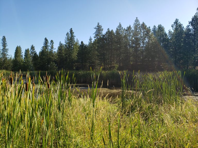
OUR GEM: Ecosystem Services That Wetlands Provide
Author, Meg Wolf- Interim Assistant Director/Idaho Water Resources Research Institute, University of Idaho Wetlands refer to the watery transition zones between surface water and dry land. They can be wet year-round or only during certain parts of the year, such as following spring runoff. Essential parts of a wetland include aquatic plants specifically adapted to live in fully saturated environments. In the Inland Northwest, non-tidal wetlands are prevalent, unlike coastal regions that support tidal wetlands. Nature’s Water Filters Wetlands act…
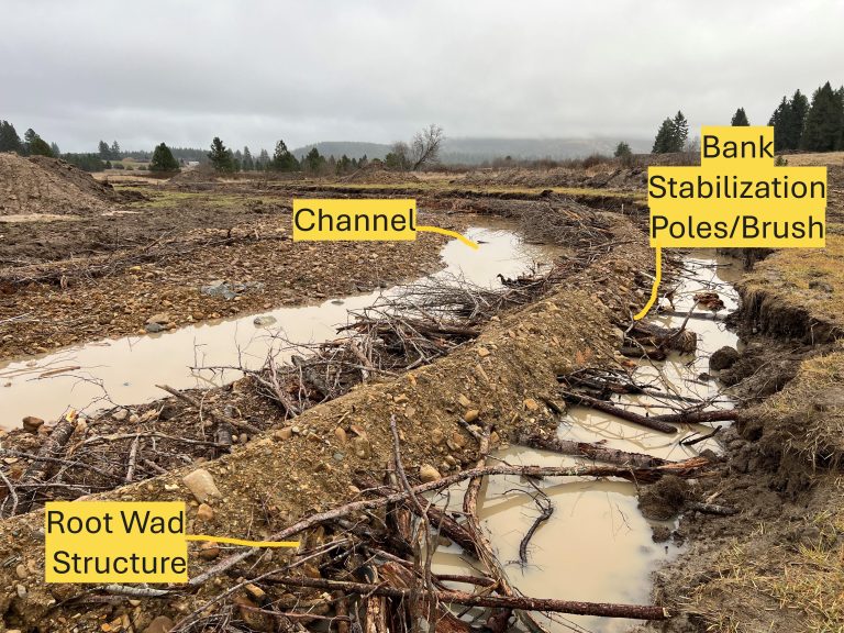
OUR GEM: k’wne’ ‘ulchiyark’wmtsut – Fisheries Restoration Connecting Two Restored Reaches
By Bruce Kinkead, Fisheries Biologist, Coeur d’Alene Tribe The Hangman Creek Fisheries Restoration Project began in 2002 and is funded by Bonneville Power Administration under the Fish Substitution Policy to compensate for lost salmon harvesting. Early research found the limiting factors to be lack of connection between channel and floodplain, lack of large woody debris (LWD), excess fine sediments, and high stream temperatures associated with a lack of tree canopy. Initial work on Hangman Creek below the Sanders townsite began…
OUR GEM: Taking Public Comments Regarding Wetland Protection Rule Changes
by Sharon Bosley, Executive Director for the Basin Environmental Improvement Project Commission The Clean Water Act (CWA) was created to protect our water resources by regulating discharge of pollutants into the waters of the United States. Its goal is to help ensure all waters are swimmable, fishable and drinkable. The purpose of defining the Waters of the United States (WOTUS) is to determine which waterways are protected under the CWA. The definition determines which waters require permits for activities that…
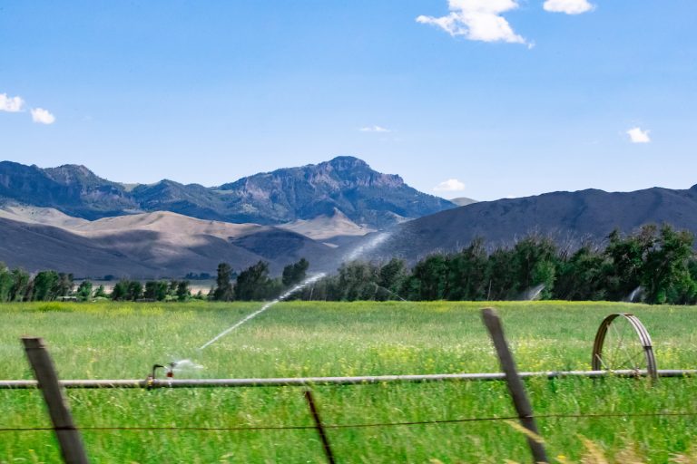
IWRRI Grant Recipients Work on Irrigation Efficiency in Southern Idaho
University of Idaho faculty Karen Humes and Russell Qualls, along with their students, analyzed 30 years of crop water use data in southern Idaho to understand variations in irrigation application needs. Their research examined how differences in wet versus dry years and cool versus warm years influence crop water use and irrigation needs. By considering forecasted climate conditions, farmers can make informed decisions about crop selection and irrigation allocation, optimizing water use and improving overall agricultural efficiency.
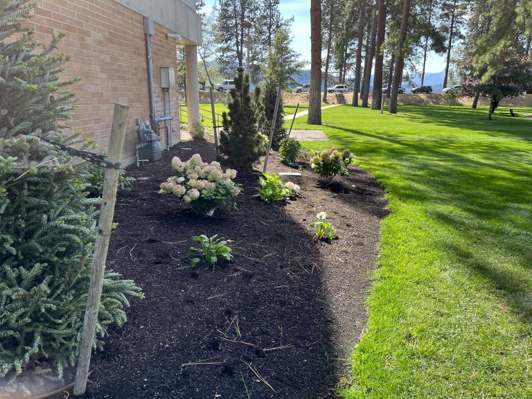
OUR GEM: Coeur d’Alene’s Wastewater History
OUR GEM: Coeur d’Alene’s Wastewater History By Mike Anderson, City of Coeur d’Alene Wastewater Utility Director In 1939, the City of Coeur d’Alene began treating its wastewater at a brand-new facility. This plant used secondary treatment, a new level of technology just beginning to be seen in large cities, but almost unheard of in small communities like ours, with a population of barely 10,000. Motivated by a desire to be a good neighbor and environmental stewards, the City was also…
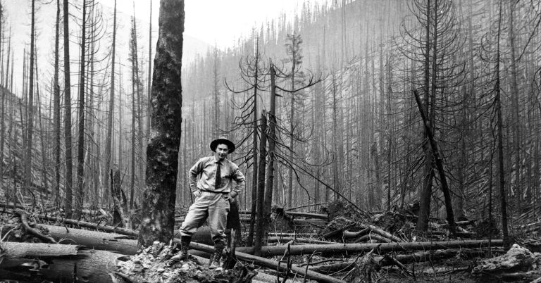
OUR GEM Ashes in the Current: The Hidden Hydrologic Legacy of the 1910 Fire
By Mark Getscher, hydrogeologist for the Coeur d’Alene Tribe More than a century after “The Big Burn” of 1910 scorched over three million acres across northern Idaho and western Montana, its legacy continues to flow through the streams and rivers of the Coeur d’Alene Basin. While most remember the fire for its devastation and heroism, far fewer realize its silent and lingering impact on water quality. High-intensity wildfires combust vegetation and organic soil layers, converting them into ash. This ash is…