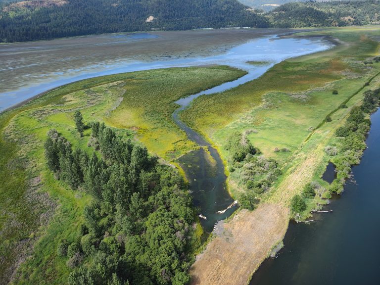
OUR GEM: IWRRI funds strategic Idaho water research
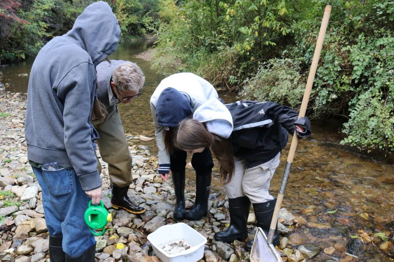
New investments support collaborative science across Idaho’s public universities to improve water data, quality and long-term resource management statewide The Idaho Water Resources Research Institute (IWRRI) has prioritized and is backing several research projects involving the state’s three public research universities to address Idaho’s pressing water challenges. Established in 1964, IWRRI is one of 54 U.S. water research and technology centers, conducting and directing research to support the water resource needs of the state and entire Northwestern U.S. In fall…