Research Project
Idaho Hydrometeorological Gap Analysis
- Water Scarcity and Availability
- Statewide
Assessing the Current Status & Opportunities for Idaho’s Hydrometeorological Observations
In 2025–2026, a joint working group from the University of Idaho, Idaho State University, and Boise State University came together to assess gaps in Idaho’s hydrometeorological network. The team reviewed Idaho’s weather and climate monitoring systems to identify gaps, overlaps, and opportunities for improvement. The project recommended ways to strengthen coordination and accessibility for hydrometrical data and natural resource management statewide.
Stakeholder engagement led by Dr. Russell Qualls, through technical discussions, committee participation, and consultations, drew on the Idaho Wheat Commission, the Idaho Drought Committee, the Natural Resources Conservation Service, Idaho Power, the U.S. Army Corps of Engineers, the Idaho Office of Emergency Management, and agricultural producers, who reported that current station density does not capture local variability, especially in complex terrain and mountain watersheds. This feedback corroborated the project’s quantitative gap analysis and reinforced the need for strategic expansion of monitoring in under-observed regions of Idaho.
Idaho Meteorological Station Map
Click a site to see its metadata and a link to its source. Map is scoped to research-grade stations only.
Reference: Synoptic Data Viewer
Learn more about meteorological standards
Story Maps
-
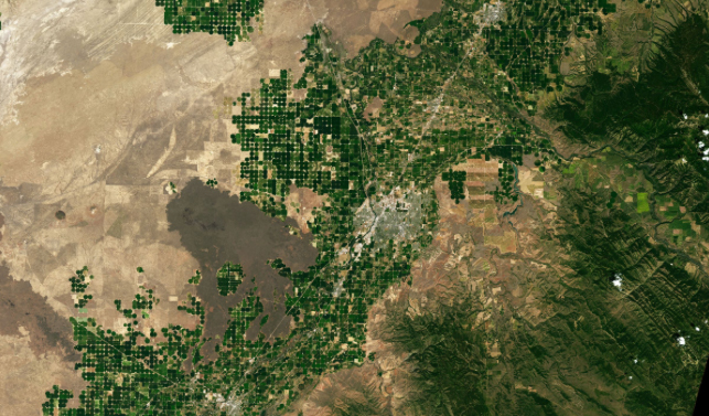
Agrimet Network Representativeness
How well do the Pacific Northwest’s irrigation weather stations measure crop water demand? It depends on where they sit and what’s around them.
Led by: Jayashree Saha, University of Idaho
View story map
-
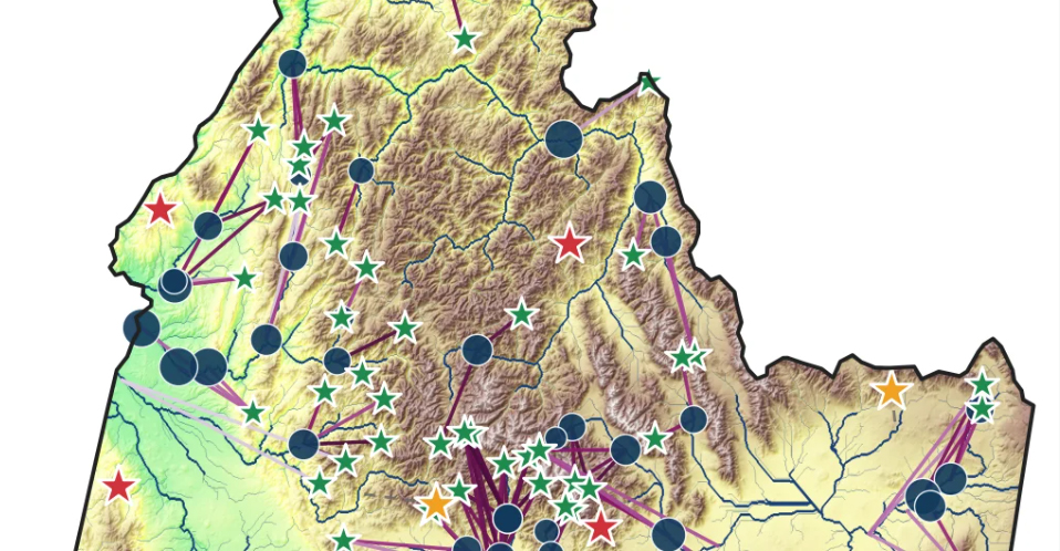
SNOTEL Station Representativeness
How well does each snow station represent the terrain around it, and how much does its snow tell us about the water downstream?
Led by: Irene Cionni, Boise State University
View story map
-
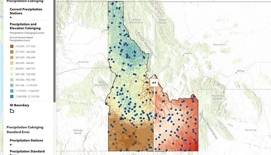
Statewide Spatial Analysis
A co-kriging analysis across every research-grade station: where the network represents Idaho well, and where if falls short.
Led by: Amber Sample, Idaho State University
View story map
Key Findings
-
AgriMet network analysis
82% of Pacific Northwest farmland is adequately served for daily reference ET used in irrigation scheduling, though season-long totals remain poorly served. Placement alone isn’t enough: what surrounds a station determines whether its data meet the standard, and many stations sit in surroundings too dry for reference ET. Publishing a measure of each station’s surroundings alongside its reference ET would let water managers judge how far to trust its numbers. -
SNOTEL analysis
How closely a station resembles the surrounding terrain and how well it predicts downstream runoff don’t track each other, so stations must be judged on both. The least representative sites cluster in the Clearwater, panhandle and Sawtooth–Wood River–Big Lost headwaters. LiDAR at Mores Creek Summit found the station under-samples snow most early in winter. New stations would add the most in the central Salmon River Mountains and Frank Church country. -
Statewide spatial analysis
Idaho’s research-grade weather stations leave key gaps: in southwestern and north-central counties, the Salmon and Clearwater basins, the rain-to-snow transition and snow zones, and forested areas. Wind and humidity are the most sparsely measured. Adding about 30 well-placed stations would cut statewide uncertainty in mapped precipitation by about 5% and in temperature by about 25%.