Data & Tools
No single agency holds Idaho’s water data. State agencies — the Department of Water Resources, the Department of Environmental Quality, and the Department of Agriculture — manage groundwater, water rights and regulatory records. Federal agencies contribute streamflow (USGS), snowpack (USDA’s Natural Resources Conservation Service), reservoir and agricultural weather data (Bureau of Reclamation), and the national exchange that surface water quality flows through (EPA). Others fall outside that split, including the university-run PRISM climate archive and monitoring by Idaho’s tribes. Use the categories below to find who holds each dataset, who contributes to it, where to get it, and what to watch out for.
No single agency holds Idaho’s water data. State agencies manage groundwater, water rights and regulatory records. Federal agencies contribute streamflow, snowpack, reservoir and agricultural weather data, and the national water quality exchange. Others include university-run climate archives and monitoring by Idaho’s tribes.
Use the categories below to find who holds each dataset, who contributes to it, where to get it, and what to watch out for.
Step 1
I am interested in…
Step 2
Choose a dataset
Farmers, emergency planners, watershed groups, researchers and property owners all need different things from Idaho’s water data. The tools below are built for those specific needs — from statewide probabilistic flood mapping to basin-scale streamflow visualization to a parcel-level irrigation district lookup. Leading them is the Idaho Water Data Hub, which unifies access to groundwater and water quality data statewide and adds interactive water level trends and analyte measurements over time. All are freely available.
-
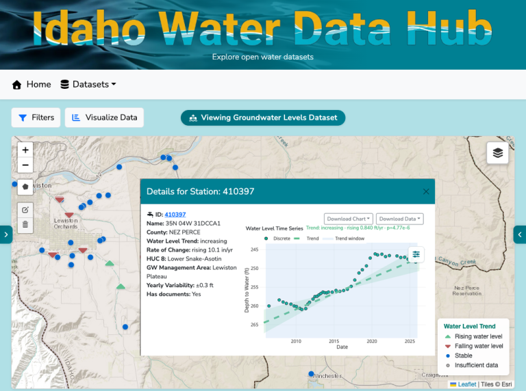
Idaho Water Data Hub
A central platform for Idaho water data, unifying access to statewide groundwater and water quality records. Beyond retrieval, the Hub charts water level trends and analyte measurements over time, so patterns at a well or across a basin are visible at a glance.
DEVELOPED BYIdaho Water Resources Research Institute, University of Idaho
-
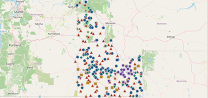
HydroMet Gap Analysis
Explore Idaho’s research-grade weather, snow, and precipitation stations — and dig into story maps that reveal where the state’s hydro-meteorological network holds strong and where the gaps lie.
DEVELOPED BYJoint working group from University of Idaho, Idaho State University, and Boise State University
-
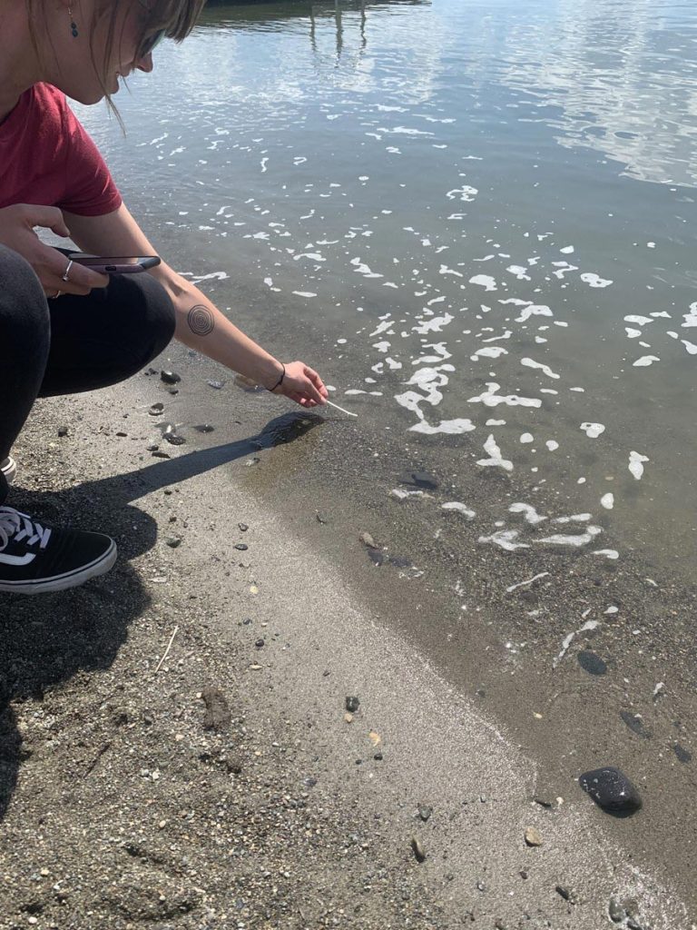
Water Quality Data Inventory
This page brings together water quality monitoring programs and databases with data collected in Idaho. Search filters narrow the inventory to datasets that fit your research needs.
DEVELOPED BYIdaho Water Resources Research Institute, University of Idaho
-
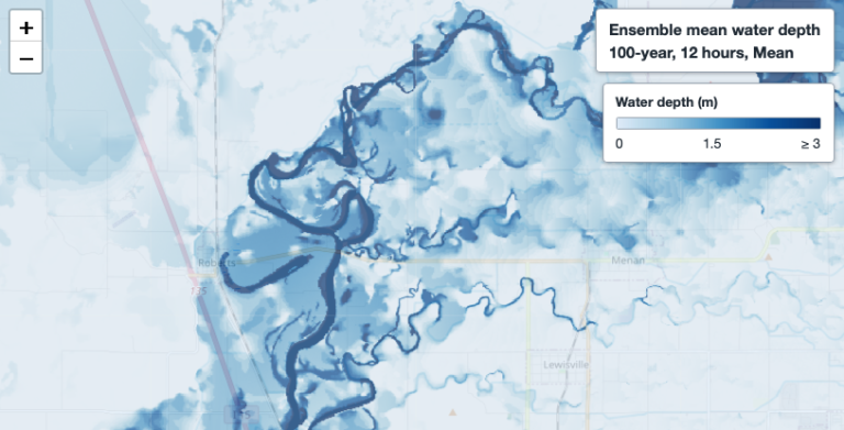
Probabilistic Flood Mapping
Statewide probabilistic flood hazard maps built from rainfall return periods, storm durations and rainfall uncertainty. Each scenario pairs an inundation probability map with an ensemble mean water depth map. Intended for hazard assessment, emergency planning and geospatial analysis.
DEVELOPED BYUniversity of Idaho researchers Saiful Ashraf Munna and Tau Huang
Coming soon -
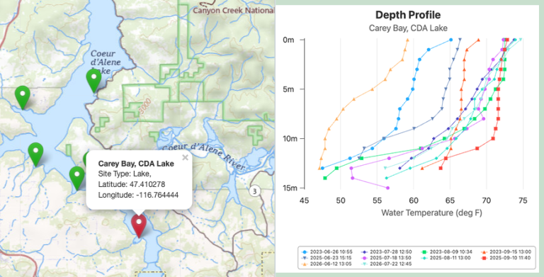
IdaH2O Master Water Stewards
A community science water monitoring program that trains residents and students to test, track and protect the water quality of streams, rivers and lakes across Idaho.
DEVELOPED BYMaster Water Stewards, University of Idaho Extension
-
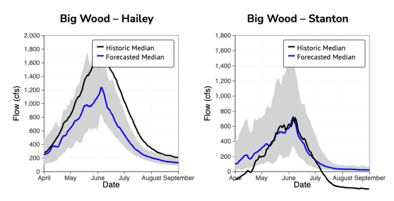
Big Wood River Tools
An interactive suite visualizing observational data, streamflow forecasts and water quality metrics to support water management in the Big Wood River Basin, Camas Creek and Silver Creek.
DEVELOPED BYIdaho Water Resources Research Institute, University of Idaho
-
WEPPcloud
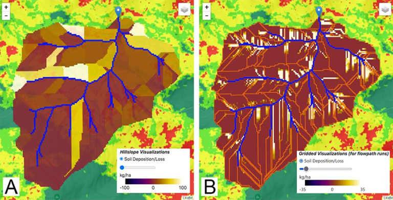
An online watershed modeling platform that automates data collection and runs the USDA Water Erosion Prediction Project (WEPP) model to predict runoff, soil erosion and sediment delivery.
DEVELOPED BYUniversity of Idaho with the USDA Forest Service Rocky Mountain Research Station
-
Treasure Valley Irrigation Districts
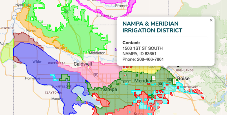
An online mapping and utility lookup that helps property owners, researchers and residents identify which irrigation district manages water delivery and infrastructure for a given location in southwestern Idaho’s Treasure Valley.
-
Spokane, Kootenai Water Providers
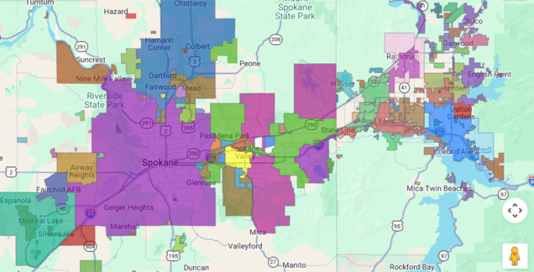
An interactive regional map helping residents and businesses identify their designated water purveyor across Spokane County, Washington and Kootenai County, Idaho.
DEVELOPED BYSpokane Aquifer Joint Board